


A 82-km-long route, where water is the protagonist.
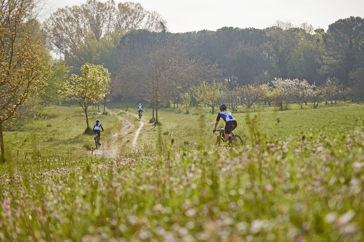
52 kilometres of paved road and 30 kilometres of gravel road, a completely flat loop trail among the rivers that characterise the coutryside south of Ravenna.
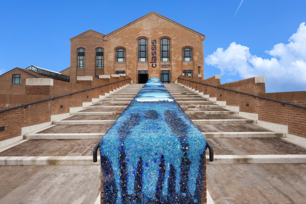
Take a scenic ride around the historical centre of the city, then head southwards.
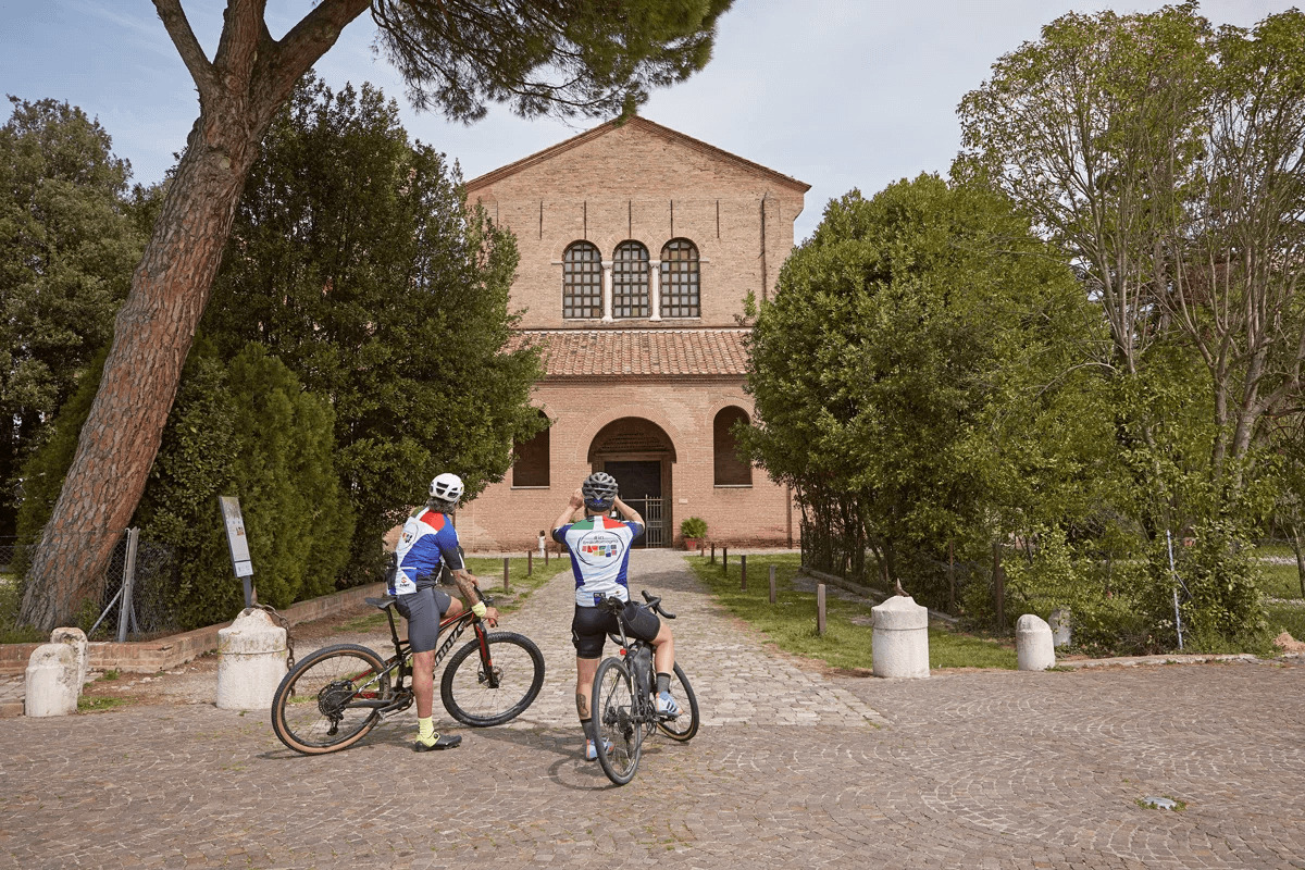
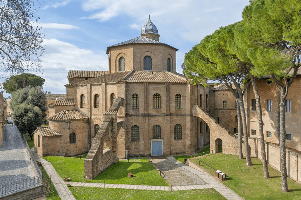
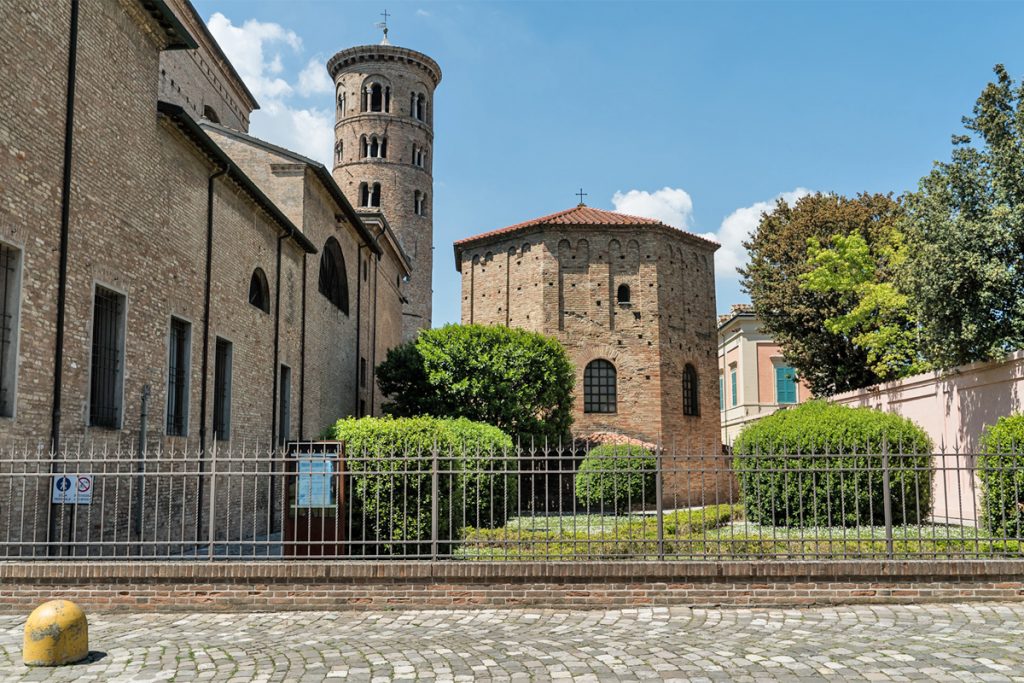
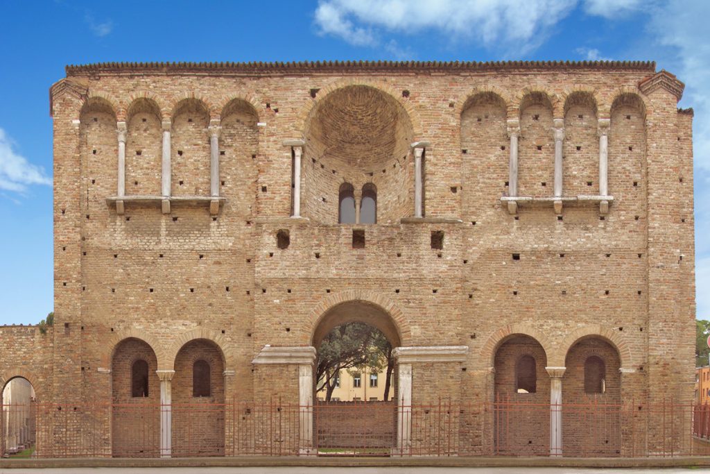
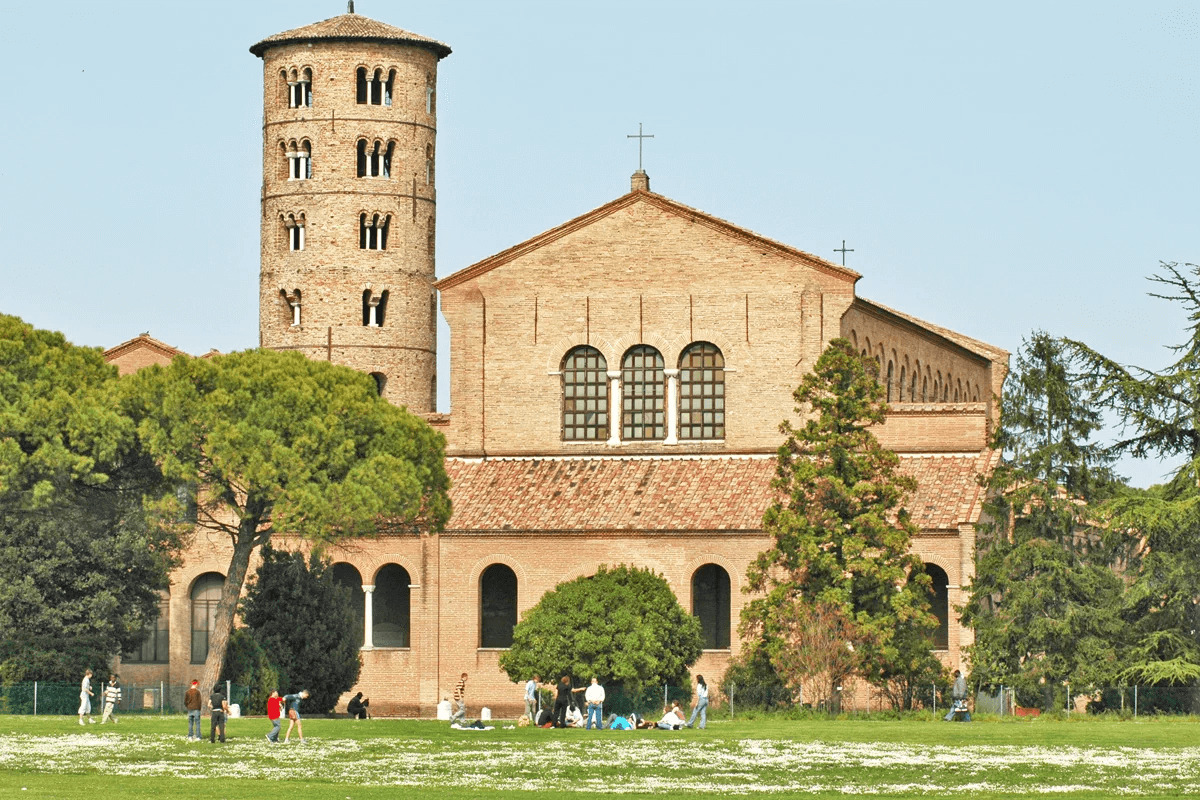
After just 6 kilometres, you find yourself in front of the majestic facade of the Basilica of Sant’Apollinare in Classe.
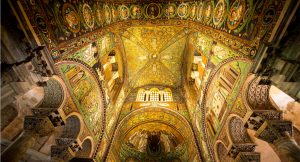
You still have a long way to go, but the basilica is definitely worth a stop. It is a true jewel, declared a Unesco World Heritage monument.
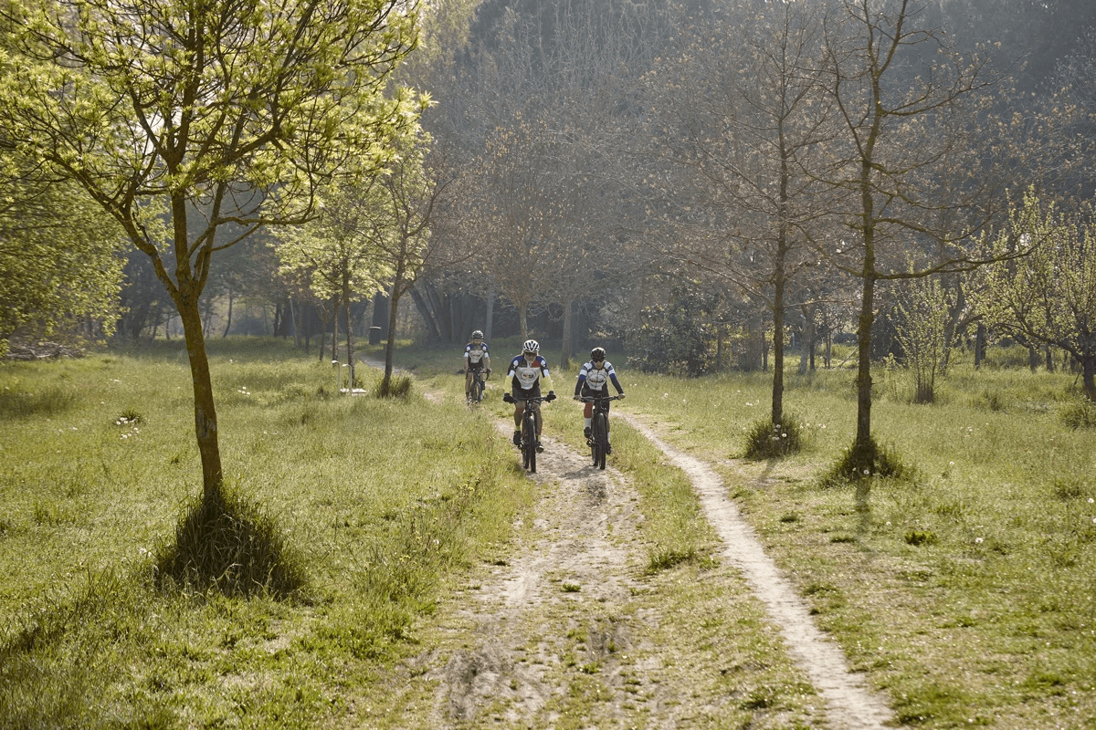
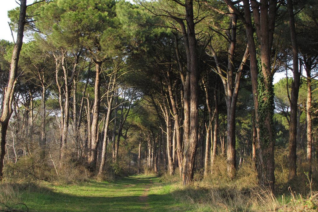
Once you leave the building behind, you enter the historical Pine forest of Classe.
7 very pleasant kilometres in the shade of century-old pines.
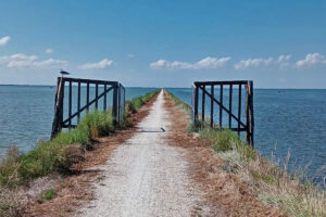
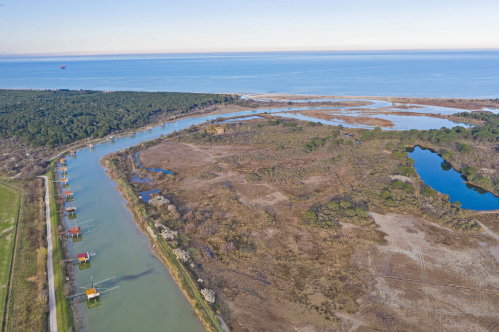
You will ride in the pine forest for all its length and also pass by some very charming natural areas, such as the Oasis of Ortazzo and Ortazzino and the Mouth of the Bevano river.
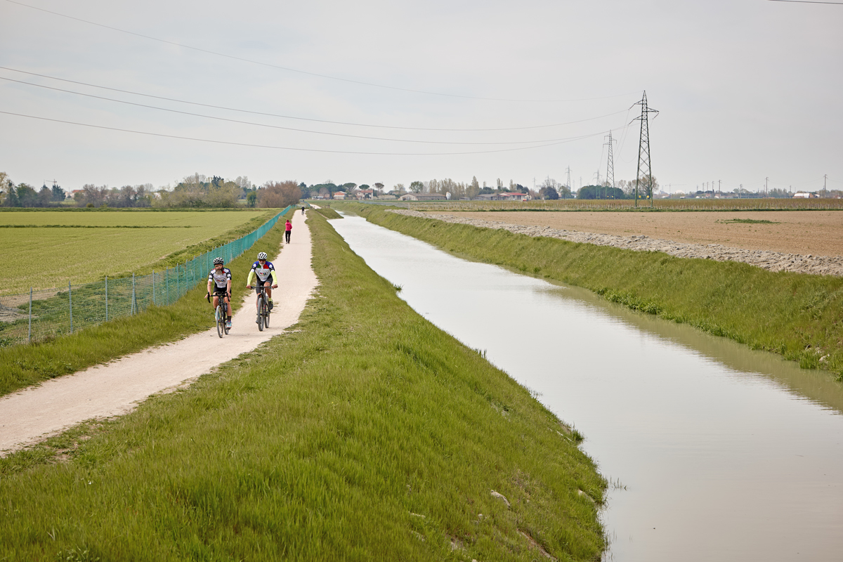
Once you get to Lido di Classe, the route turns south-west along the Savio river, up to the small towns of Cannuzzo and Matellica.
From here, you will ride in the middle of the great plain of Ravenna – known as Agro Decimano – firstly on a paved road, then on a gravel one, and again on a paved road until the Montone river.
Follow the river and head back straight to Ravenna.

_SVG")